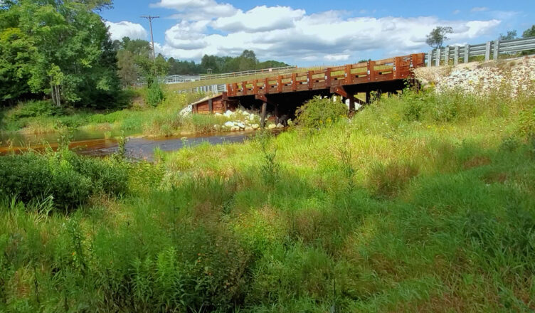
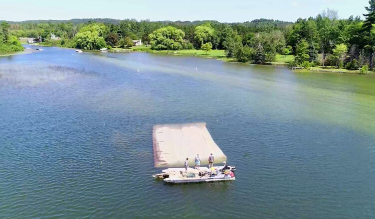
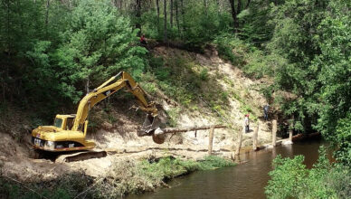
Nature Change (naturechange.org) is delighted to announce the release of a new documentary film about the restoration and protection of rivers and streams
[...]
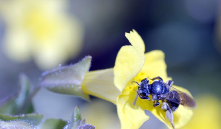
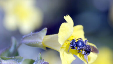
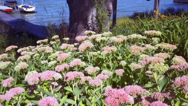
In this short documentary film, we join experts and volunteers as they work to save Michigan’s only endemic flower. The Federally-listed endangered species, Michigan
[...]
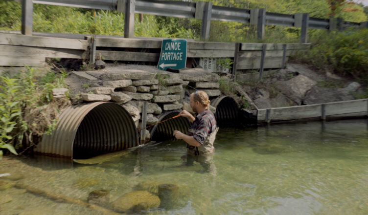
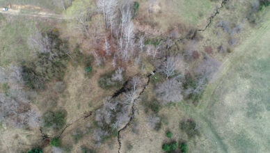
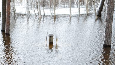
This short documentary film is about several big problems that overlap, literally. This film is also about governmental and nonprofit organizations working together
[...]
Who Protects the Public Trust is a very short presentation by Professor Richard Norton, Taubman College, University of Michigan. Norton is an expert
[...]
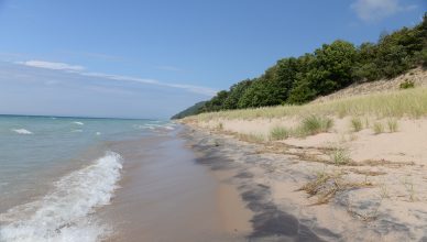
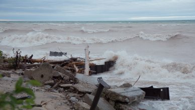
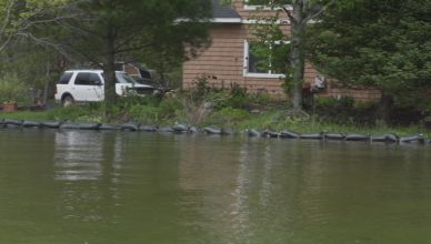
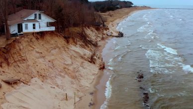
In this short film, Professor Guy Meadows (Great Lakes Research Center, Michigan Technological University) describes how high-water levels and waves are changing the
[...]
Nature Change appreciates this video and short description submitted by Aime Merizon, Communications Specialist for the Leelanau Conservation District (LCD). We hope you
[...]
Nature Change appreciates this article and accompanying video submitted by Emily Cook, Outreach Coordinator for the Northwest Michigan Invasive Species Network. We hope
[...]
In this essay, author and environmental policy specialist Dave Dempsey reflects on the challenges humans face today, fifty years after the first Earth
[...]
Over the past year, Forestry Assistant Maddy Baroli has worked with Kama Ross, District Forester for Benzie, Grand Traverse, and Leelanau Counties to
[...]
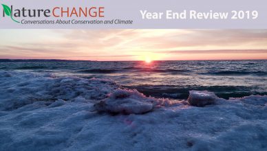
Thank you Nature Change viewers! Thanks for your support, time and attention throughout this very busy year! In 2019, Nature Change stories highlighted
[...]
A special report recently release by the United Nations’ Intergovernmental Panel on Climate Change said that big changes in global land use, agriculture
[...]
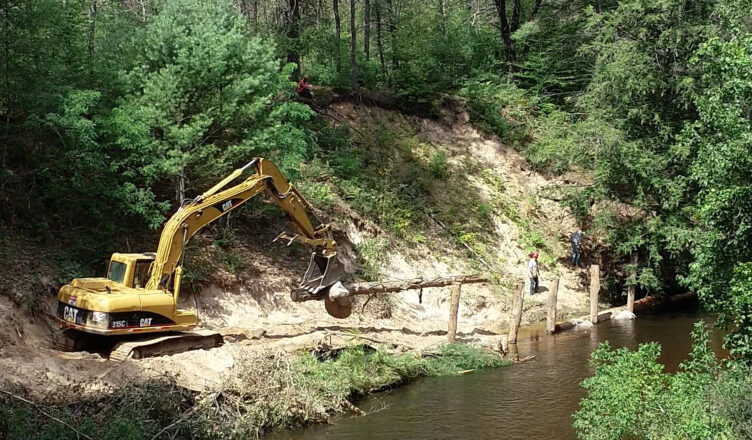
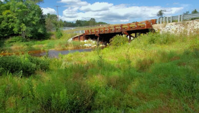
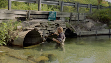
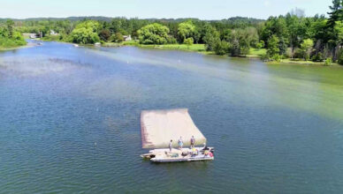
Nature Change has published several stories about removing dams and culverts to return rivers and streams to natural flow conditions. But Michigan still
[...]